At a glance
What awaits you
Visit duration
Not yet provided
Difficulty
Not yet provided
Route length
Not yet provided
Who is it for
Popular visiting hours
Verified busyness data is not available yet
Best time to visit
JanFebMarAprMayJunJulAugSepOctNovDec
BestGoodHot
5-day forecast
Forecast loads when this section is viewed
About this place
Stalactite Cave Nature Reserve
Inside Soreq Cave, drops gather at the tips of stone pendants, rounded stalagmites rise below them, and massive columns link ceiling and floor. Outside are the slopes of the Judean Hills and the quarry workings that revealed the entrance. Soreq Cave, also known as Avshalom Cave, lets you explore a densely formed underground landscape from a purpose-built walkway. It also makes a geological process surprisingly tangible: water dissolves rock, then deposits the minerals that create new shapes.
Beneath the western slope of Mount Ye’ela
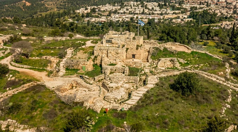
The cave lies east of Beit Shemesh, on the western side of Mount Ye’ela in the Judean Hills, south of the Nahal Soreq valley. This location matters when planning a day out: visiting the cave and walking beside the Soreq stream are separate excursions. The cave entrance is below the upper arrival area, so the visit begins on an open hillside with a descent by steps. The return journey is uphill. The landscape outside provides a striking comparison with the chamber within. Quarrying removes rock in large quantities; underground, mineral deposits accumulate in thin layers. These very different ways of shaping stone sit close together, making the geology apparent before you enter the cave.
How water both dissolves rock and builds it
As rainwater passes through soil, it takes up carbon dioxide and becomes mildly acidic. Seeping along cracks in carbonate rock, it gradually dissolves the stone and helps create underground cavities. When the solution enters a cave, it can release carbon dioxide, allowing some of its dissolved calcium carbonate to precipitate. Calcite deposits then build up on the ceiling, walls and floor. Dissolution within the rock and deposition inside the cavity are parts of the same system. A visit cannot reveal the whole process unfolding, but a single drop shows its smallest visible working element. The formations accumulated under varying conditions and at different rates. Where water flowed down a sloping surface and left broad folds of stone, the resemblance to a frozen cascade is especially clear.
Stalactites, stalagmites and flowstone
1
Stalactites
These grow down from the ceiling. Their position reflects where water emerges from a crack and subsequently deposits mineral. Slender and substantial examples show different stages and patterns of development within the same type of formation. Follow one from its attachment at the ceiling to its pointed tip.
2
Stalagmites
These grow upwards where drops land on the floor. Their outlines are generally rounder than those of ceiling formations. Shape depends on the water supply and the conditions in which drops fall. Looking at the floor beneath a dripping stalactite makes the connection between the two ends of a vertical water path easier to imagine.
3
Columns
A stalactite and stalagmite can join to form a continuous column. Some resemble thick structural supports, while others retain a narrower waist where the two formations met. They are natural mineral deposits; their resemblance to architecture comes from the visitor’s imagination.
4
Flowstone surfaces
Water running over a wall deposits mineral differently from an isolated falling drop. It creates folds and smooth, undulating surfaces. Compare these with the vertical formations: their shapes can suggest the direction of flowing water without any need to touch the stone.
The small gap between two growing formations
Among the most readily understood sights at Soreq are stalactites and stalagmites growing towards one another. A narrow gap draws the eye because it is so easy to imagine the two shapes continuing until they meet. Evocative names used inside the cave include “Romeo and Juliet”. They help visitors remember an outline but are not geological classifications. The visible gap cannot tell you when a pair will join. The water supply can change, growth may be uneven, and deposition can pause. Think of such a pair as an unfinished column. Having seen it, the massive joined pillars elsewhere become easier to read: they show a possible outcome of a process that has not yet reached the same stage in another part of the chamber.
Reading colour and a crowded landscape
Many formations occupy a relatively small area of the cave. At first the eye takes in a dense mass, then begins to separate its individual lines. Choose a feature close to the walkway, trace it from floor to ceiling, and only then look deeper into the chamber. Cream and brownish tones in carbonate deposits reflect impurities and the history of deposition, but artificial lighting also changes their apparent colour. A photograph cannot reliably establish chemical composition or age. A gleaming surface may indicate moisture; a darker patch is not necessarily older than a pale one. Soreq is best explored as a series of connected miniature landscapes: an individual pillar, a wall covered in flowstone, a group of ceiling points and the spaces between them.
A cave that preserves a climate record
Soreq’s mineral formations have scientific importance well beyond their appeal to visitors. Their layers and isotopic composition have helped researchers reconstruct changes in the region’s climate over approximately 185,000 years. Water carries information about surface conditions into the cave, and accumulating calcite preserves part of that signal. Scientists date samples and compare chemical indicators to build a sequence of past environmental conditions. This takes laboratory analysis. Pale and dark bands do not, by themselves, form a calendar that can be read from the walkway. There is another important limit: the time span covered by a studied sequence is not a single age for the entire cave. Different formations may have developed at different times. With that in mind, a thin layer almost lost beside a huge column deserves attention too.
Quarry blasting revealed a concealed chamber
The cave was discovered in 1968 during blasting at the Har-Tuv quarry. Work intended to extract building stone opened a space already filled with well-developed mineral formations. The next challenge was how to show it to visitors while limiting damage. A constructed walkway, lighting and controlled entry keep people’s movements separate from fragile surfaces. Outside, the quarry remains an important part of the discovery story. It is a reminder that the chamber existed inside a working rock mass and could have been lost. Here the distinction between finding a cavity and making it suitable for visitors is particularly clear. Creating a convenient human passage calls for additional decisions about humidity, light and the protection of mineral surfaces.
Soreq, Avshalom and Me’arat HaNetifim
Avshalom Cave has several names. Soreq, also spelled Sorek, refers to the nearby valley and stream; Me’arat HaNetifim means “stalactite cave” in Hebrew. The name Avshalom commemorates Avshalom Shoham, a soldier who died after suffering severe injuries. His family and friends helped prepare the site for public visits. This memorial name belongs to the modern history of the place. It does not connect the cave with the biblical prince Absalom or explain the origin of its formations. Recognising the alternative names is useful when searching a map. They refer to one underground site near Beit Shemesh, rather than several neighbouring caves with different entrances.
Discovery, protection and the control of light
- 1968
Quarry blasting reveals the cave. Research begins, along with preparations for controlled public visits.
- 1975
The area is declared a nature reserve. Protection encompasses the cave environment as well as its individual mineral formations.
- 1977
Following preparation, the cave opens to the general public. Its visitor history is a separate, much shorter chapter than the formation of the cavity and its deposits.
- 2012
Upgraded lighting and monitoring help manage the effects of visits. Both heat from lamps and the conditions encouraging algae matter in an underground environment.
Lighting is part of cave conservation
The chamber receives no ordinary daylight, so opening it to visitors inevitably changes its environment. Light reveals the columns and the depth of the cave but can also encourage algae on wet surfaces. The lighting system therefore has a conservation role as well as a visual one. Its settings and equipment have changed over time. Older photographs with different colours are no guarantee of exactly how the chamber will look during a visit. For photography, work with the installed light and follow the camera rules in force. Additional bright lights or flash affect the surroundings and disturb other visitors. In a confined space, looking quietly at what is already illuminated is more rewarding than continually trying to light every distant corner.
What shapes the experience and the physical effort
- The hillside approach
- Steps to the entrance
- The usual visit includes a descent by steps and a climb back afterwards. The outdoor effort differs from the slow pace of looking around inside.
- Inside the chamber
- A protected visitor route
- The constructed walkway threads between mineral formations and keeps visitors away from natural surfaces. Humidity makes careful footing important.
- Photography
- Use the installed lighting
- Light levels are lower than outside, and other people use the same passage. Keep photographic stops short enough to leave the group’s route clear.
- Limited mobility
- Check each part of the route
- Reaching the cave entrance and completing the internal route are different questions. Ask about any special approach arrangements together with the actual extent of accessible viewing.
- The cave and the valley
- Two separate excursions
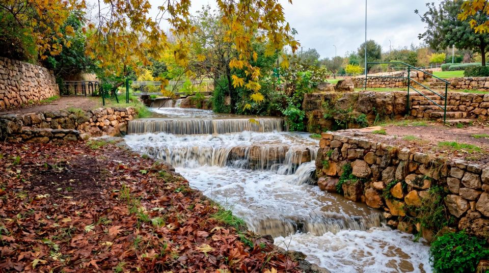
- Stalactite Cave Nature Reserve does not replace a walk along Nahal Soreq. These two experiences have different starting points and require a separate plan for travelling between them.
Seeing more from the visitor walkway
- 1
Start with the direction of growth
Find a formation suspended from the ceiling, then one rising from the floor. Once the difference between a stalactite and a stalagmite is clear, the dense scene stops looking like a random accumulation of stone.
- 2
Trace the water’s route
Compare a vertical pair with a broad flowstone wall. One results from dripping water, the other from a film running over a surface. Different water paths produce different outlines.
- 3
Separate observation from inference
You can see moisture glinting and recognise the shape of a column. You cannot establish its age or exact growth rate from the walkway. Those conclusions depend on scientific investigation.
- 4
Save energy for the return
After exploring underground, you still have the outdoor ascent. On a hot day, the cool sensation inside does not remove the sun from the hillside. Plan drinking water and a rest with the return staircase in mind.
Keep hands and feet within the visitor route
Questions about Avshalom Cave and its formations
- Are Avshalom Cave and Soreq Cave the same place? Yes. Soreq takes its name from the nearby valley, while Avshalom is a memorial name. The Hebrew Me’arat HaNetifim, meaning “stalactite cave”, is also used. All refer to the site near Beit Shemesh.
- What is the difference between a stalactite and a stalagmite? A stalactite grows down from the ceiling; a stalagmite grows up from the floor. When they join, they form a column. At Soreq, neighbouring examples make it easy to compare the shapes and different stages of development.
- How old is the whole cave? A single precise figure cannot adequately describe the cavity and all its formations. They developed and changed at different times. Climate research using a sequence of deposits covers approximately 185,000 years, but that is not an age certificate for the entire site.
- Can a column’s size reveal its growth rate? No. Growth depends on the amount and composition of water, gas exchange and other conditions. A universal formula of one centimetre per fixed number of years is a poor guide to an individual column, especially where deposition has been interrupted.
- Does a visit involve difficult caving? A standard visit follows a constructed visitor route. There are still steps, damp surfaces and the outdoor staircase to consider. This is neither an independent expedition into undeveloped cavities nor a route for unrestricted climbing.
- Do I need to bring a caving torch? The visitor route is illuminated. Do not rely on a powerful personal light as your way of exploring. Management determines the rules for extra lighting and photography. Concentrate on the formations already lit for viewing.
- Can I walk straight from the cave onto the Soreq stream trail? A stream walk is a separate outing with a different starting point and route requirements. Sharing a name does not mean there is a direct exit from the cave onto a riverside path. Plan the transfer between the two sites in advance.
Sources
History
Quarry blasting reveals the cave. Research begins, along with preparations for controlled public visits.
The area is declared a nature reserve. Protection encompasses the cave environment as well as its individual mineral formations.
Following preparation, the cave opens to the general public. Its visitor history is a separate, much shorter chapter than the formation of the cavity and its deposits.
Upgraded lighting and monitoring help manage the effects of visits. Both heat from lamps and the conditions encouraging algae matter in an underground environment.