At a glance
What awaits you
Visit duration
Not yet provided
Difficulty
Not yet provided
Leashed, muzzled dogs are allowed only on viewpoint routes, not cliff trails.
Route length
Not yet provided
Who is it for
Popular visiting hours
Verified busyness data is not available yet
Best time to visit
JanFebMarAprMayJunJulAugSepOctNovDec
BestGoodHot
5-day forecast
Forecast loads when this section is viewed
About this place
Arbel National Park and Nature Reserve
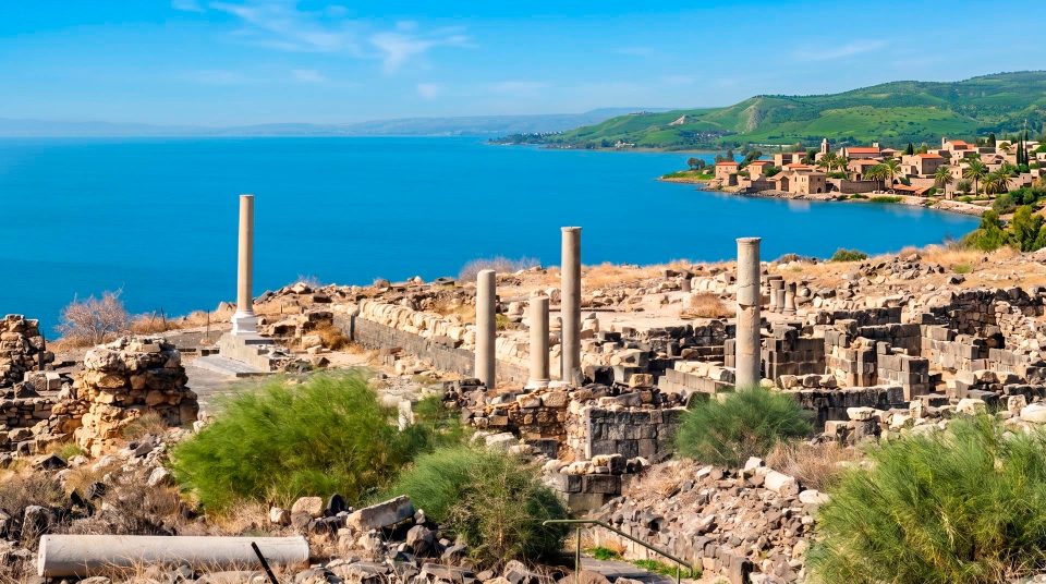
From Arbel’s upper rim, the Sea of Galilee appears beyond the fields and rooftops of Migdal. Turn towards the gorge and the cliff of Mount Nitai rises opposite. Dark cave mouths punctuate the rock below, while an old natural passage leads inland between the slopes. You can stay above for the panorama or take a cliff route towards the fortifications. A quiet look across the landscape and a descent using metal handholds call for quite different preparation and confidence.
Height, fortifications and layers of history
181 mSummit above sea level
66 CECaves fortified by Josephus
17th centuryLater rebuilding of the cave fortress
Why the lake looks so far below
Mount Arbel stands in Lower Galilee, northwest of the Sea of Galilee and north of Tiberias. Its elevation above sea level is relatively modest, but the lakeshore itself lies below sea level. The cliff therefore looks much higher than a map’s summit figure might suggest. The mountain’s geology is connected with the formation of the Jordan Rift Valley. The abrupt change in height is immediately apparent, even without a long climb on foot. From above, the pattern of the coastal plain around Migdal and Ginosar is easy to follow. Across the water rise the slopes of the Golan Heights. More distant summits, including Mount Hermon, depend on clear air; haze can change the view completely. Read the panorama gradually, beginning with the nearby fields, moving to the shoreline and finally looking towards the farther horizon.
The gorge linking Galilee with the lake
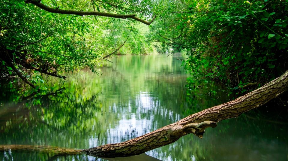
Mount Nitai stands opposite Arbel. Between them, the valley of the Arbel Stream provides a natural passage from the interior of Lower Galilee to the Sea of Galilee. In antiquity, it formed a route to the settlements along the shore. The cliffs’ position explains their strategic value better than any isolated fortification: the heights overlook the approaches, while the narrow valley channels movement. Do not picture the stream as a permanently flowing river. Its bed is dry for much of the year, and photographs of a green valley floor do not promise waterside walking in every season. From the upper viewpoint, follow the line of the valley as it curves around the neighbouring mountain. The village of Wadi Hamam below gives the map a human scale. Its houses look small beside the rock walls.
The landmarks that define Arbel
1
The upper lookout
The view over the Sea of Galilee and the surrounding valley is a reason to visit in itself. From a permitted viewpoint, pick out Migdal, the shore and the opposite slope. Staying on the upper paths lets you appreciate the cliffs’ height without committing to the caves below.
2
The cave fortifications
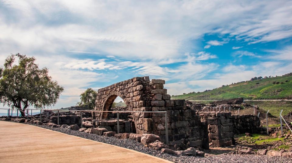
Natural cavities in the cliff were enlarged with built rooms and masonry. Passages linked different levels, and water was stored inside. Compare the pale rock with the constructed walls to distinguish the natural framework from the builders’ additions.
3
The ancient Arbel synagogue
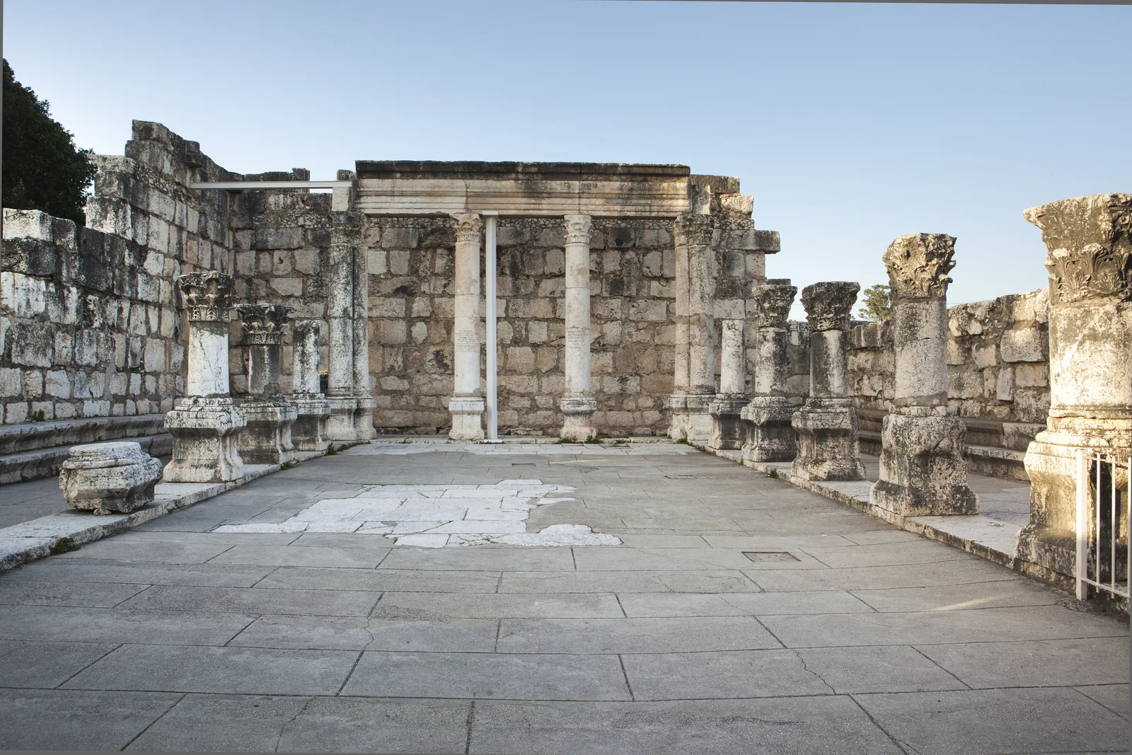
These ruins stand near the modern moshav of Arbel, separately from the main cliff lookout. A monumental doorway carved from a single stone is particularly striking. Here the focus shifts from the scale of the mountain to a communal building and the precision of its stonework.
4
Mount Nitai’s outline
The neighbouring mountain completes the gorge landscape. A long wall with towers has been studied near its upper edge, although its date and purpose remain debated. Seeing a feature across the valley does not mean that a permitted continuation of your trail leads to it.
How caves became homes, refuges and a fortress
Within Arbel’s natural cavities, people enlarged rooms, built cisterns and ritual immersion pools, and linked spaces with internal stairways. Shelter in a sheer cliff had defensive advantages, provided water, food and contact with the outside world could be maintained. Josephus describes the suppression of Antigonus’s supporters as they resisted Herod. To attack their difficult-to-reach caves, soldiers were lowered from above in special chests. This is an ancient author’s account, rather than a detailed plan identifying the history of every opening visible today. The surviving fortress developed over several periods. Its later walls cannot all be assigned to Herod’s campaign. Look for the practical adaptations that made cavities habitable, such as thresholds, masonry and water storage. The slope was never a single castle built in one operation.
The history of the cliffs and settlement
- The Second Temple period
Caves serve as homes and places of refuge. Ancient texts describe fighting around Arbel, with different episodes involving different opponents and campaigns. The dramatic accounts of resistance cannot be reduced to one siege.
- 66 CE
Josephus strengthens the caves while organising Galilee’s defence at the start of the revolt against Rome. Their elevated position and difficult approaches make them useful as protected bases and stores for supplies.
- Fourth–eighth centuries CE
The surviving synagogue belongs to a history of initial construction, rebuilding in the sixth century and continued use. Its ruins show the long-established communal life that existed near the cliffs.
- Seventeenth century
Ali Beg, son of Fakhr al-Din of the Ma‘an dynasty, refortifies the cave complex. This phase is associated with the Arabic name Qal‘at Ibn Ma‘an. The defensive possibilities of the rock continued to attract builders many centuries after antiquity.
At the synagogue’s monolithic doorway
The Arbel synagogue deserves a stop of its own. Among walls that now survive only to a limited height, the large stone doorway helps you imagine the building’s original scale. Distinguish the entrance from the position of the Torah ark. An eastern doorway does not by itself establish the direction of prayer: the ark’s niche occupied the southern wall, towards Jerusalem. Accounts claiming that the synagogue simply ignored Jerusalem’s direction flatten a more complicated plan. Inside, column bases and traces of benches along the walls remain visible. This communal setting complements the caves’ military history. Here, people assembled regularly, rather than taking shelter in an emergency. The moshav, ancient settlement and cliff area share the name Arbel, but they are separate places to explore. Allow for travelling between them, so that the synagogue is not missed because you expected to find it beside the precipice.
Choose the visit that suits you
- A panorama without the cliff descent
- The upper paths
- Stay on permitted upper paths if the open horizon and geography of the lake are your priorities. A short approach to a view should not automatically be treated as a step-free route suitable for every wheelchair or pushchair.
- Descending to the cave fortifications
- Hands-on movement and exposed heights
- Cliff sections use metal handholds and rails. You need confident footing, free hands and comfort with exposed heights. Check the administration’s route map for which descent and loop, if any, are open.
- An archaeological focus
- The synagogue near the moshav
- The synagogue offers close observation of carved stone and a discussion of a late antique community. It is a separate stop, independent of the technical demands of a descent along the cliff.
- Continuing down to the valley
- A separate route-planning decision
- Reaching the foot of the cliffs changes where your walk finishes. Before setting out, decide which permitted route you will use to return and where transport will meet you. A road visible below is not a return plan.
A closer look at Arbel
- 1
Begin with the whole landscape
At the lookout, place the lake, shore plain and Mount Nitai in relation to one another. Their positions explain why a route followed the gorge and why people chose the cliffs as places of refuge.
- 2
Make time for the cliff’s details
If you take a permitted route to the fortifications, look for the boundary between natural rock and later masonry. Stop in narrow passages only where you leave room for others. Keep your hands free for the handholds instead of taking photographs while traversing them.
- 3
Finish at the settlement
At the synagogue, find the monolithic doorway, column bases and southern part of the prayer space. Moving from an entire landscape to a single building connects the mountain’s military history with the daily life of its residents.
Green slopes and the shapes of summer
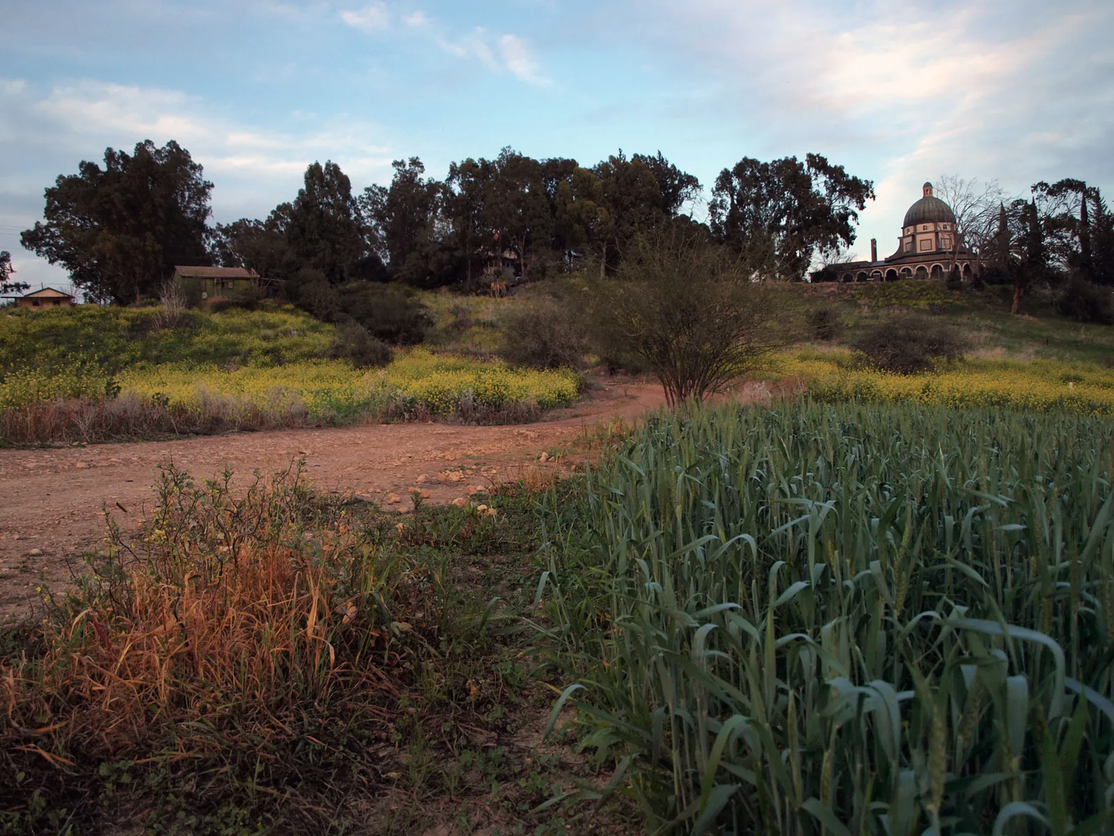
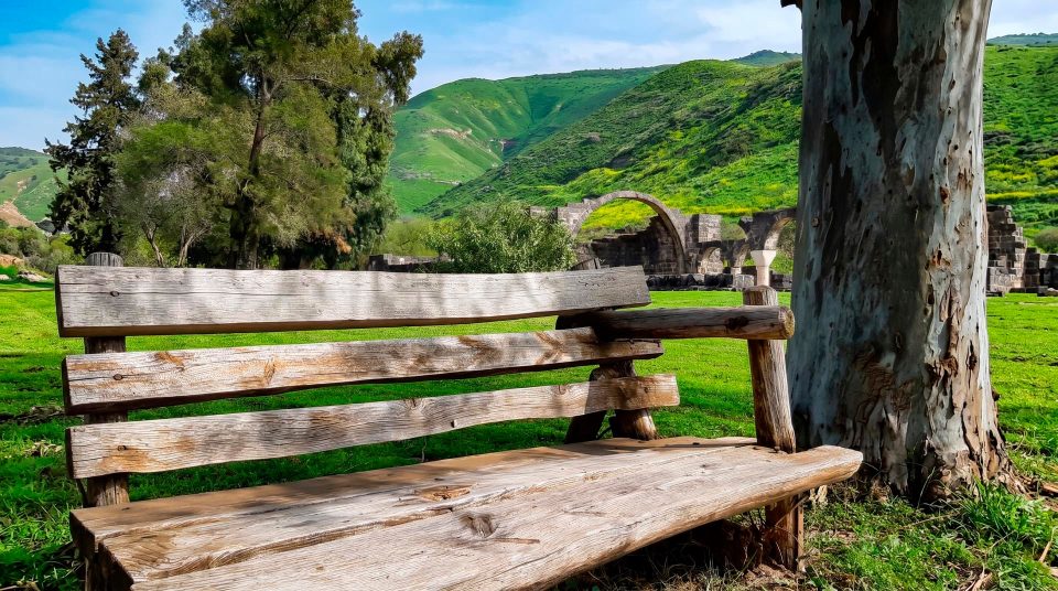
After winter rains and in spring, green slopes contrast strongly with the pale cliff. In the dry season, the outline of the precipice, folds in the rock and geometry of the lakeside fields become more prominent. Both offer plenty for photography. Walking on an exposed mountain in hot weather, however, feels very different from pausing beside the lake below. Choose morning or another cooler part of the day for more comfortable movement, rather than expecting one guaranteed quality of light. Rain can make rock surfaces and handholds slippery, while strong wind is particularly uncomfortable near an edge. Decide on a cliff route according to the weather and the instructions in force, not just the calendar season. If haze obscures the distance, the closer landscape still rewards attention. The narrow valley, cave mouths and Mount Nitai offer a different scale from the far line of the Golan.
A living cliff landscape
Caves and recesses matter to cliff-dwelling wildlife. Ledges and steep slopes create habitats that people cannot easily reach. At Arbel, look up as well as out: birds may pass level with you or below the lookout, using air currents beside the cliff. Binoculars help you follow them without moving towards the rim. A sighting of a particular species should never be made a compulsory part of the day. A quiet pause is more useful than searching for animals at every cavity. Avoid throwing food from the cliff or leaving it beside the trail. A cave mouth visible from a viewpoint is not an invitation to search for an unmarked way in. This slope is both protected habitat and demanding terrain.
A lookout and a cliff descent need different decisions
Seeing the Sea of Galilee from above and below
Think of Arbel National Park as an introduction to the western side of the lake basin. After the upper panorama, the shore around Migdal or Ginosar becomes easier to understand. The relationships between fields, water and the rocky ridge take shape. For a day focused on archaeology, leave time for the synagogue and a careful look at the fortifications rather than adding another long hike. Arbel and Susita offer different views over the same lake. Here, the sheer cliff and narrow passage inland into Galilee dominate; at Susita, it is an ancient town on a summit above the eastern shore. Choose according to your interests and the effort involved. To reach the upper entrance, navigate to Arbel National Park rather than an arbitrary point beside the stream. Check admission hours, ticket conditions and available trails with the park administration before travelling. Old descriptions cannot replace that practical check.
Questions about walking at Arbel
- Do I have to descend the cliff? No. The upper area offers views of the Sea of Galilee, Migdal and Mount Nitai. The descent to the caves is a separate choice, dependent on conditions and your ability. It is not an obligatory continuation of the lookout walk.
- Why does a mountain only 181 metres high seem much taller? The figure is its elevation above sea level. The Sea of Galilee and its shore lie below sea level, making the height difference above the lake substantially greater. Summit elevation is not the same as the full height of the slope.
- Does the entire cave fortress date to Herod’s time? No. People used and fortified the cavities in different periods. The events described by Josephus and the seventeenth-century masonry belong to different historical layers of the same cliff complex.
- Is the synagogue beside the main lookout? The ruins stand near the modern moshav of Arbel, as a separate stop. If you are coming for the monolithic doorway and ancient prayer hall, do not restrict your visit to the path towards the cliff edge.
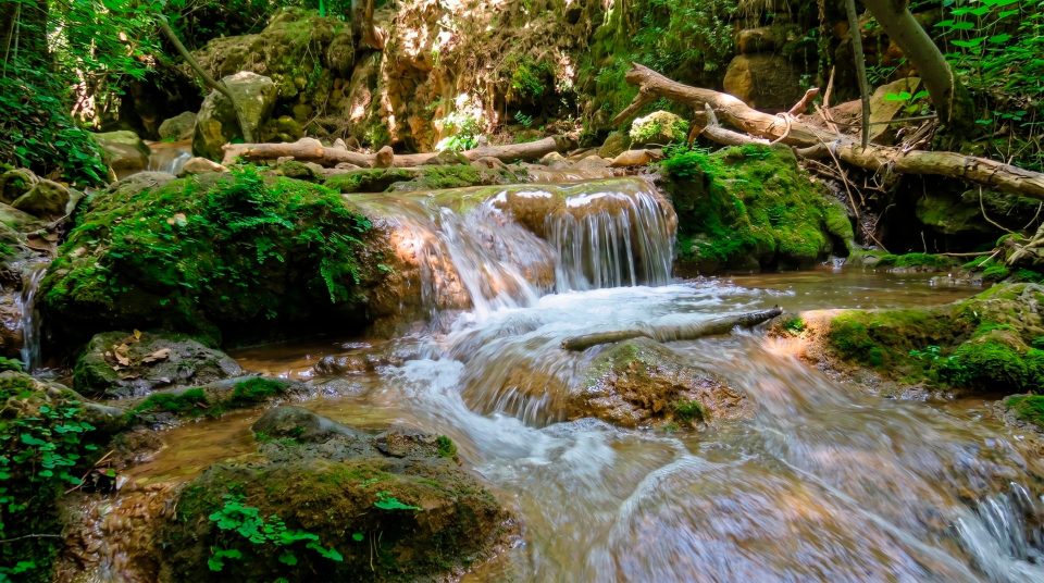
- Can I count on walking beside flowing water? The Arbel Stream is dry for much of the year. This visit is primarily about the cliff landscape and the historic passage between the mountains. If flowing water is your priority, make a separate plan and check the conditions.
- Is the descent suitable for someone afraid of heights? The exposed sections with metal handholds can be very uncomfortable. It is better to choose the upper viewpoints beforehand than to test your reaction on a steep traverse with limited room to turn back.
- Where should I drive for the upper viewpoints? Use the official national park entrance approached from the Arbel moshav side. Locations in the valley or at the foot of the cliffs are not interchangeable with this entrance. Check the access road and permitted visitor route before setting off.
Sources
History
Caves serve as homes and places of refuge. Ancient texts describe fighting around Arbel, with different episodes involving different opponents and campaigns. The dramatic accounts of resistance cannot be reduced to one siege.
Josephus strengthens the caves while organising Galilee’s defence at the start of the revolt against Rome. Their elevated position and difficult approaches make them useful as protected bases and stores for supplies.
The surviving synagogue belongs to a history of initial construction, rebuilding in the sixth century and continued use. Its ruins show the long-established communal life that existed near the cliffs.
Ali Beg, son of Fakhr al-Din of the Ma‘an dynasty, refortifies the cave complex. This phase is associated with the Arabic name Qal‘at Ibn Ma‘an. The defensive possibilities of the rock continued to attract builders many centuries after antiquity.