At a glance
What awaits you
Visit duration
210min
Upper Nahal Amud route: about 4 km, 3–4 hours; 210 minutes is the range midpoint.
Source and itineraryDifficulty
Moderate
Upper Nahal Amud route: about 4 km, 3–4 hours; 210 minutes is the range midpoint. Entrance and campground facilities are accessible; this does not establish accessibility of the stream trail.
Route length
Not yet provided
Who is it for
Popular visiting hours
Verified busyness data is not available yet
Best time to visit
JanFebMarAprMayJunJulAugSepOctNovDec
BestGoodHot
5-day forecast
Forecast loads when this section is viewed
About this place
Nahal Amud Nature Reserve
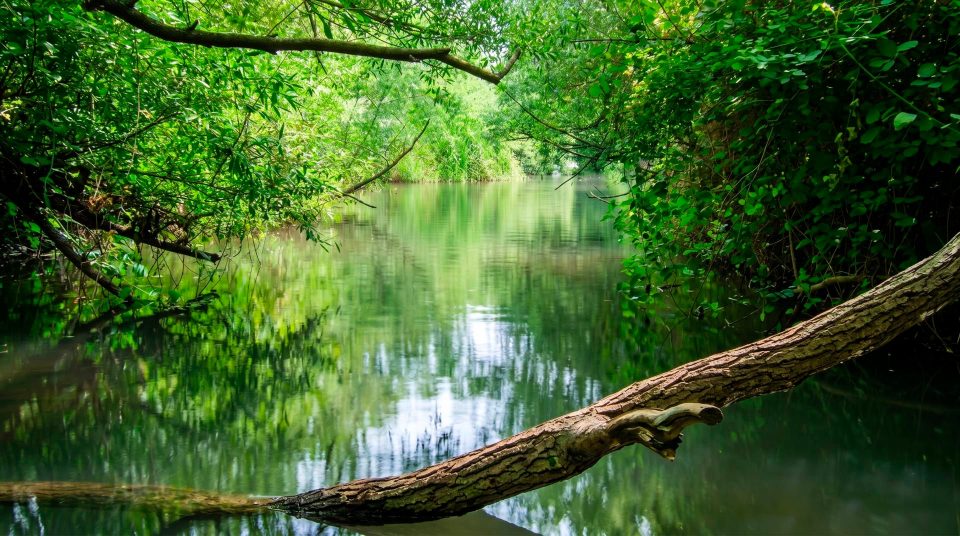
Water beneath plane trees, old orchards and limestone cliffs give Nahal Amud its character. In the upper gorge, trails pass Ein Yakim spring and the Sekhvi Pools. Further downstream, the landscape opens out into exposed slopes, prehistoric caves and the stone pillar that gave the stream its name. Choosing the right section matters on a first visit: both the scenery and the physical demands change considerably along the valley.
Nahal Amud in figures
2 Distinct sections
20 m Height of the limestone pillar
150 m Depth of the gorge at the water-carrier crossing
1995 Spring water returned to the stream
Putting the figures in context
Upper Nahal Amud, with its springs and orchards, and Lower Nahal Amud, with its more open gorge, require different plans. The limestone column in the lower valley gave the stream its name: amud means “pillar” in Hebrew. The National Water Carrier crosses this lower section by siphon, providing another point of interest in a landscape shaped by water. The date 1995 marks the end of pumping from Ein Yakim, a conservation measure that allowed the spring water to flow back into the stream.
Water, shade and a worked landscape
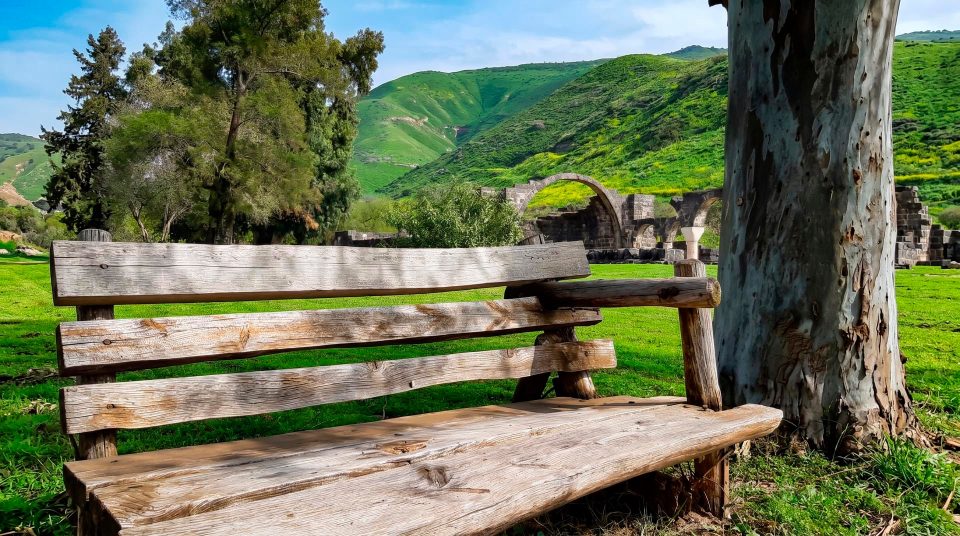
The strongest impression of Upper Nahal Amud comes from being close to the water. Rocky paths descend to the streambed, where plane trees rise above small pools and a large walnut tree grows near the spring. Channels, terraces and the remains of mills appear along the way. Gradually, the history behind the greenery becomes visible: for centuries, water irrigated orchards and powered the valley’s machinery. The stream invites a slower pace, with time to examine stonework and pause in the shade. Even so, this remains a walk over rough ground, with a climb back out at the end.
What to see in Upper Nahal Amud
1
Ein Tina police post
This British Mandate-era concrete building guarded the pumping station by the spring. Bullet marks remain in its walls. It makes a useful historical stop near the beginning of the walk, introducing the importance of the water supply. View the dilapidated structure from outside: entering is dangerous because of the risk of collapse.
2
Ein Yakim spring
One of the upper valley’s key springs, Ein Yakim retains a pumping station that supplied Safed. Its name commemorates the Yakim priestly family, which moved to Galilee after the destruction of the Second Temple. A water channel leads away from the spring; it formerly supplied orchards and mills along the valley.
3
The restored orchard
This terraced fruit orchard, or bustan, demonstrates how people used the slope and a supply of irrigation water to cultivate the gorge. Look at the relationship between the channel, the plots and the planting. The orchard brings the valley’s everyday life into focus: this landscape was once part of the working economy of nearby settlements.
4
The Sekhvi Pools
Small natural pools lie beneath tall plane trees where the Sekhvi and Amud streams meet. The remains of a flour mill stand nearby. This is a particularly rewarding place to linger beside the water, but choose it for the landscape. Check separately whether entering the water is permitted, as conditions and restrictions can change.
Choosing the right walk
- A first look at the upper section
- Water, orchards and history
- Choose this for the spring, orchard and streamside scenery. Decide where to turn back using the official map and your group’s abilities. Even a shortened walk needs to account for the rocky descent and the climb on the return.
- Continuing to the Sekhvi Pools
- More time beside the stream
- Walking further into the upper valley allows more time with its streamside landscape. Stops at the water and mill add to the duration. Plan the return in advance, especially with children; shade in the gorge does not make the climb to the exit effortless.
- A separate Lower Nahal Amud hike
- Different terrain and logistics
- The lower section suits an interest in open gorges, geology and longer walks. The pillar and cave landscapes belong to this lower valley. Plan the entrance, exit, transport and drinking-water supply separately from a visit to the upper section.
Making sense of a first Upper Amud visit
This is a sequence for planning and understanding the walk, rather than a navigation track. Use the official on-site map to identify turns, permitted branches and a suitable turning point.
- 1
Start at the upper entrance
For Ein Yakim and the Sekhvi Pools, choose the upper entrance approached from Road 866 near Kfar Shamay. Before descending, confirm the permitted route, last admission and arrangements for returning.
- 2
Pause at the police post and spring
These structures explain why water mattered so much here. Stay outside ruined buildings and remain on the authorised path, including when looking for a photograph.
- 3
Continue towards the orchard and streambed
Watch for irrigation channels and the remains of working buildings. If your chosen route reaches the Sekhvi Pools, allow time to take in the surroundings and rest before starting back.
- 4
Keep enough energy for the return
Do not continue down the gorge simply because the path goes further. Returning to the upper exit involves climbing. Base the decision to turn back on the needs of the slowest member of your party.
Lower Nahal Amud: pillar, caves and cliffs
1
The limestone pillar
About 20 metres of limestone, isolated from the adjoining cliff by erosion, makes the stream’s name immediately understandable. The pillar stands in the lower gorge; do not expect to see it on a short walk from the upper entrance. View the rocks from the authorised trail rather than attempting to climb them.
2
Amud and Zuttiyeh caves
Finds from these caves are important to the study of early humans. Amud Cave is associated with Neanderthal research, while Zuttiyeh yielded much earlier human remains. These are archaeological caves, not equipped visitor attractions. Do not plan independent climbs or entry; the cavities also shelter bats and are subject to conservation restrictions.
3
Cliffs and birds of prey
The gorge provides habitat and nesting sites for raptors. Observe from a distance without approaching niches in the rock. Binoculars are more useful here than trying to get close. The presence of suitable habitat does not guarantee a sighting of any particular species on your visit.
4
Chera Lookout
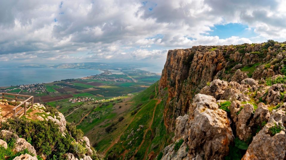
The viewpoint overlooks the place where the National Water Carrier crosses the deep valley. Water travels down one side in pipes and rises again on the opposite slope. Treat the lookout as a viewpoint, not as an entrance to the reserve or the start of a descent to the streambed.
How water shaped the valley’s history
- 16th century
During the flourishing of textile production in Safed, water power was also used to process wool. The valley’s machinery connected the gorge with the crafts of the nearby town.
- 1925
Discoveries at Zuttiyeh Cave became an important part of early research into prehistoric humans in the region. The valley’s archaeological story reaches much further back than its surviving orchards and mills.
- 1936–1939
The British built the Ein Tina police post during this period. It guarded the pumping station supplying Safed with water.
- 1961 and 1964
A Japanese archaeological expedition excavated Amud Cave. Human remains found there made it an important site for the study of Neanderthals.
- 1995
Pumping from Ein Yakim ceased. Preserving the natural flow became a significant step in protecting the gorge’s aquatic environment.
Check water-contact rules separately
The landscape through the seasons
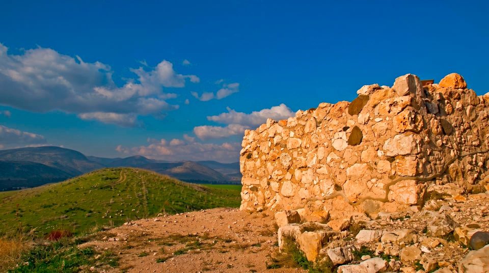
Winter and spring bring green Galilean slopes, with more opportunities to see flowers and water-filled stretches of the stream. Rain changes conditions on rocky paths, making the forecast and the reserve administration’s warnings especially important. In summer, the upper stream’s shade is appealing, but the approaches and return climb still involve exertion in the heat. The lower gorge is more exposed to the sun and needs its own weather assessment. A cool autumn day can suit a closer look at historical structures and limestone scenery. Seasonal photographs help you imagine the landscape; actual conditions should determine whether to set out.
Who will enjoy Nahal Amud?
1
Families with children
Springs, old channels and mills give children concrete things to look for. Choose an upper-valley route that matches their actual stamina. A pushchair is not a universal solution for rocky paths; check the suitability of the particular section in advance.
2
Couples and photographers
Water reflections, plane trees, stonework and the restored orchard reward an unhurried visit. Allow time to stop. Take streamside photographs from stable ground, keeping narrow stretches of path clear for other walkers.
3
Visitors interested in history
The landscape makes past uses of water easy to follow: a channel supplied the orchard and mill, the pumping station served Safed, and the police post protected that infrastructure. The caves introduce a completely different timescale to the same valley.
4
Experienced walkers
The lower valley and longer traverses need a proper route plan. Identify permitted entrances and exits, arrange the return to your car and allow enough daylight. Experience of short streamside strolls does not replace that preparation.
Practical planning
- Where to begin
- The upper entrance and lower valley are different destinations
- For the upper section, use the official entrance approached from Road 866. Make sure the destination in your navigation app matches the entrance required for your chosen walk.
- Tickets and reservations
- Confirm arrangements with the reserve
- Check prices, concession eligibility and any advance-reservation requirement on the Israel Nature and Parks Authority’s official page. An old price list is unsuitable for budgeting a visit.
- Last admission
- Check your specific route
- Admission to an individual trail can end before the reserve closes. Check both times, allowing a margin for the climb back out.
- Distance and difficulty
- Assess the actual route
- These depend on the entrance, branches followed and turning point. A single distance cannot describe all of Nahal Amud. Compare the official map with the abilities of your party.
- Accessibility
- Ask about individual sections
- If you need a pushchair-friendly route, step-free access or arrangements for limited mobility, request information about the particular section. A car park does not establish accessibility along the whole trail.
What to prepare
- Footwear with a secure grip Rocky and wet sections need reliable traction. Shoes intended for walking around a swimming pool are not a substitute for walking footwear.
- Drinking water and sun protection Carry enough for the entire walk, including the climb and any stops. Do not assume there will be shade at every point along the way.
- A map and a clear return plan Save the official route map. For a longer traverse, decide how you will get back to your car if the walk finishes at a different entrance.
- A check of conditions before departure Review the forecast, access notices and admission cut-offs for your chosen trail. An enduring place guide cannot replace operational instructions from the reserve administration.
- A bag for your rubbish Take everything you bring back out with you. Food scraps also affect wildlife and the condition of the stream banks.
- An unhurried schedule Pause in safe places without blocking narrow paths. Leave a comfortable margin rather than planning around the final minute of admission.
Including the gorge in a Galilee stay
An upper-valley walk works well as the main outdoor activity of the day, leaving Safed or time at your guesthouse for afterwards. If you are staying around Safed, Meron, Amirim or Kfar Shamay, plan the drive to the correct entrance rather than to a general map pin bearing the stream’s name. Avoid crowding the day with a second long hike: distances may look modest on a map, but the descent and climb already require a substantial effort. Accommodation, transport and reserve admission are separate arrangements. A nearby zimmer, or guest cabin, should not be assumed to include a guided visit.
Questions before a first visit
- Are Nahal Amud and Nahal Ayun the same place? No. They are different nature reserves in northern Israel. Nahal Amud belongs to the Galilee landscape around Safed, in a valley descending towards the Sea of Galilee. Check the name on your map and any reservation confirmation when planning the journey.
- Which entrance should I use for the spring and Sekhvi Pools? Plan for Upper Nahal Amud and its entrance from Road 866. On arrival, confirm the permitted walking route using the official map and signs rather than relying on a general pin for the stream.
- Will I see the stone pillar on a short walk? The pillar stands in the lower valley. It is not automatically part of a short walk around Ein Yakim. Choose a separate route with appropriate starting and finishing points if seeing it is a priority.
- Can I bring a small child? That depends on the child’s ability to walk on rocks, their stamina and conditions on the chosen trail. Remember the climb on the return. Age alone is not enough information to judge whether a route will suit them.
- Can visitors enter the caves? Amud and Zuttiyeh are not tourist caves with unrestricted entry. Do not climb up independently, and observe conservation restrictions, including those protecting the bats that use the caves as shelter.
- Is swimming in the pools allowed? Check immediately before your visit. Visible water and old accounts of swimming do not establish the rules in force. Follow the reserve administration’s notices and the signs on site.
- Do I need to buy a ticket in advance? Check the official reservation system for your intended date, including prices and concession rules. Do not assume entry is free simply because you plan to use an alternative entrance.
- Can I link the upper and lower sections without advance planning? A through-walk needs a full plan covering distance, timing, permitted access, water and transport. For a first visit, choose one clearly understood route that suits everyone in the group.
Sources
History
During the flourishing of textile production in Safed, water power was also used to process wool. The valley’s machinery connected the gorge with the crafts of the nearby town.
Discoveries at Zuttiyeh Cave became an important part of early research into prehistoric humans in the region. The valley’s archaeological story reaches much further back than its surviving orchards and mills.
The British built the Ein Tina police post during this period. It guarded the pumping station supplying Safed with water.
A Japanese archaeological expedition excavated Amud Cave. Human remains found there made it an important site for the study of Neanderthals.
Pumping from Ein Yakim ceased. Preserving the natural flow became a significant step in protecting the gorge’s aquatic environment.